
Search Data.gov
Found 389 dataset(s) matching "teledyne".
-
In November 2021, the U.S. Geological Survey collected high-resolution multibeam sonar data in the vicinity of Eel Pond, in Woods Hole, Massachusetts using a dual-head Teledyne Seabat T20-R...
-
In November 2021, the U.S. Geological Survey collected high-resolution multibeam sonar data in the vicinity of Eel Pond, in Woods Hole, Massachusetts using a dual-head Teledyne Seabat T20-R...
-
In November 2021, the U.S. Geological Survey collected high-resolution multibeam sonar data in the vicinity of Eel Pond, in Woods Hole, Massachusetts using a dual-head Teledyne Seabat T20-R...
-
The U.S. Geological Survey (USGS) Woods Hole Coastal and Marine Science Center (WHCMSC) completed a bathymetric and shallow seismic-reflection survey during the period of June 9, 2021 to June 24,...
-
In June 2022, the U.S. Geological Survey, in collaboration with the Massachusetts Office of Coastal Zone Management, collected high-resolution geophysical data, in Nantucket Sound to understand...
-
In June 2022, the U.S. Geological Survey, in collaboration with the Massachusetts Office of Coastal Zone Management, collected high-resolution geophysical data, in Nantucket Sound to understand...
-
The U.S. Geological Survey (USGS) Woods Hole Coastal and Marine Science Center (WHCMSC) completed a bathymetric and shallow seismic-reflection survey during the period of June 9, 2021 to June 24,...
-
In June 2022, the U.S. Geological Survey, in collaboration with the Massachusetts Office of Coastal Zone Management, collected high-resolution geophysical data, in Nantucket Sound to understand...
-
The U.S. Geological Survey (USGS) Woods Hole Coastal and Marine Science Center (WHCMSC) completed a bathymetric and shallow seismic-reflection survey during the period of June 9, 2021 to June 24,...
-
Three streamflow measurements are used to demonstrate the use of equations developed in Mueller (in review). All three measurements are from various locations on the Mississippi River. These data...
-
Acoustic Doppler current profiler (ADCP) discharge measurement data were collected and analyzed for use in developing an operational uncertainty analysis tool known as QUant (Moore and others,...
-
A dye tracer study was completed on the lower Sandusky River between July 11-13, 2017, during a confirmed Grass carp (Ctenopharyngodon idella) spawning event downstream of Ballville Dam near...
-
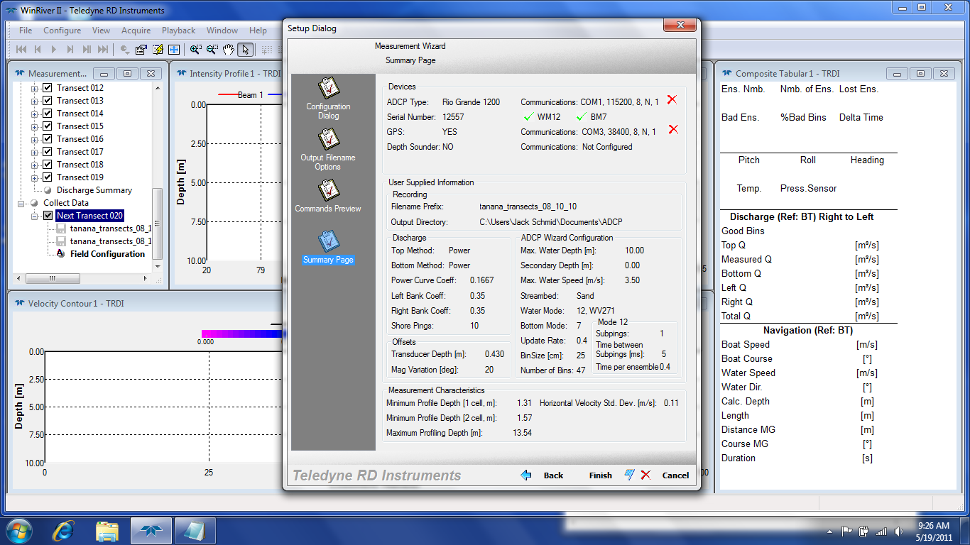
As part of the initial site investigation for the Tanana River near Nenana, Alaska, a set of transects was completed on September 23rd, 2010. Similar to the one done on August 10th, 2010. This...
-
As part of the Great Lakes Restoration Initiative (GLRI) project template 774-GC10 entitled, “Characterization of hydrology and sediment mobility to inform design and implementation of a seasonal...
-
Chapel Hill, NC and Missoula, MT chamber data used in generating the manuscript titled: Summary of PM2.5 Measurement Artifacts Associated with the Teledyne T640 PM Mass Analyzer Under Controlled...
-
Tidal water discharge within two breaches constructed in a former flood-control levee of a restored agricultural area in Port Susan, Washington, was measured repeatedly during several tidal...
-
The dataset contains data collected with an acoustic Doppler current profiler (ADCP) for a reach of the Missouri River at Sheepnose Bend downstream from Lexington, Missouri. Velocity data was...
-
Bubble curtain systems, also called “bubblers,” are used in navigation locks to prevent the buildup of ice around the gates in the winter. It has been proposed that bubblers could potentially...
