
Search Data.gov
Found 195 dataset(s) matching "borehole log".
-
Geophysical measurements were collected by the U.S. Geological Survey (USGS) at two sites in Interior Alaska in 2019 and 2020 for the purposes of imaging permafrost structure and quantifying...
-
The U.S. Geological Survey, in cooperation with the U.S. Air Force Civil Engineering Center, collected borehole geophysical data and performed simple aquifer tests to estimate the thickness and...
-
The U.S. Geological Survey (USGS) in cooperation with the California State Water Resources Control Board (State Water Board) compiled and analyzed data for mapping groundwater salinity,...
-
Newberry Volcano, a voluminous (500 km3) basaltic/andesitic/rhyolitic shield volcano located near the intersection of the Cascade volcanic arc, the Oregon High Lava Plains and Brothers Fault Zone,...
-
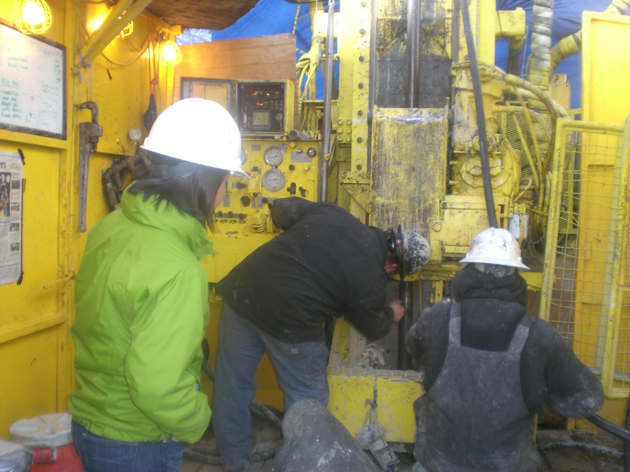
As part of a broader research program to examine domestic source rock reservoirs, the Gulf Coast Petroleum Systems project of the USGS Energy Resources Program drilled a research borehole into...
-
This data release contains a geospatial database related to a digital 3D hydrogeologic framework model (3D HFM) of the Eel River Valley groundwater basin, California. The geospatial database...
-
This data submission includes several data components that were used to develop a conceptual model and power capacity-estimates of two low-temperature geothermal resources that define geothermal...
-
Basal heat flow from the crystalline basement and lithospheric mantle into the sedimentary column is a required boundary condition in the petroleum systems model. The model uses two basal heat...
-
This submission contains multiple excel spreadsheets and associated written reports. The datasets area are representative of shallow temperature, geochemistry, and other well logging observations...
-
The Quartz Valley Geologic Framework uses geologic data gathered from previous publications (Mack, 1958) and airborne electromagnetic (AEM) surveys (California Department of Water Resources, 2024)...
-
This data release is part of a study examining the use of near-stream groundwater discharge as a tool for Geochemical Exploration. Handcart Gulch is an unmined alpine watershed in Montezuma Mining...
-
The U.S. Geological Survey (USGS) and California State University-Sacramento, in cooperation with the California State Water Resources Control Board and U.S. Bureau of Land Management, compiled...
-
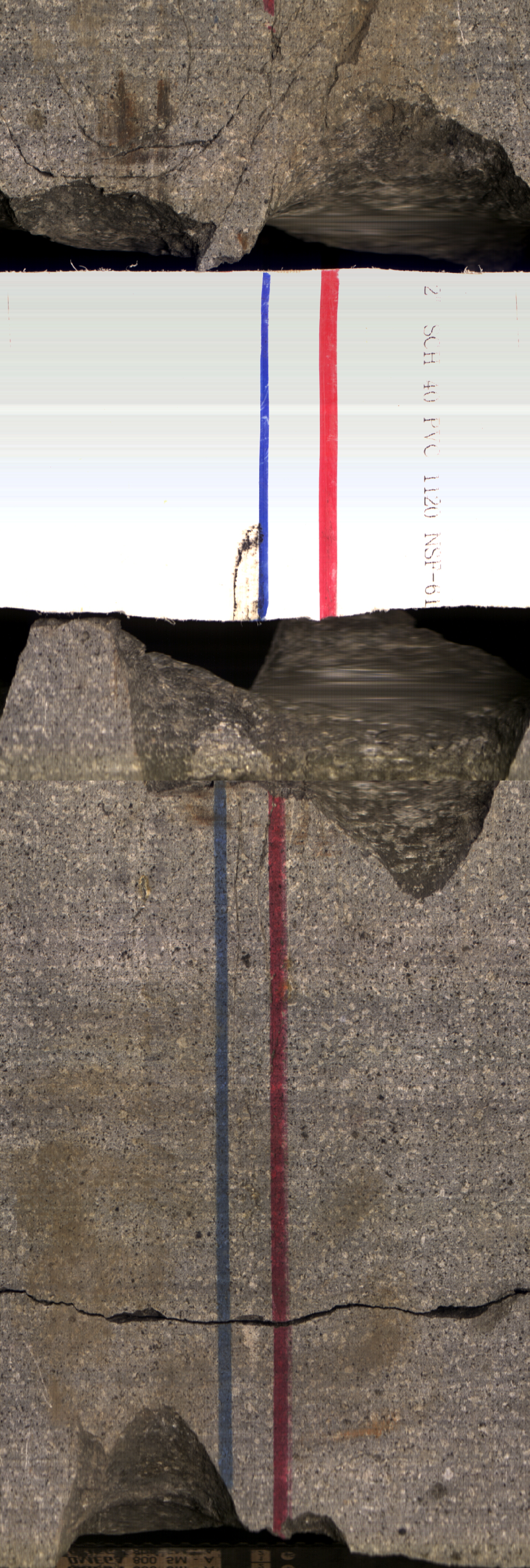
Borehole erosion tests were performed to quantify sediment erosion rates as a function of depth below grade and flow speed at locations along the Sacramento and American Rivers in 2019. The...
-
This package includes data from two days of testing at the Sanford Underground Research Facility (SURF) on the 4100 level. The tests were performed in borehole TV4100 in the battery charging...
