
Search Data.gov
Found 1225 dataset(s) matching "Hydraulics".
-
This point vector dataset represents tributary pour points used as model boundary inflow locations to the tributary Streamflow-Routing (SFR) Package network for recharge and runoff simulated by...
-
Notice to Data Users: The documentation for this data set was provided solely by the Principal Investigator(s) and was not further developed, thoroughly reviewed, or edited by NSIDC. Thus, support...
-
This line vector dataset represents tributary segments simulated with the Streamflow-Routing (SFR) Package for MODFLOW-One-Water Hydrologic Flow Model in the Rio Grande Transboundary Integrated...
-
This hybrid medium-resolution national hydrography dataset with river corridor attributes (NHD-RC) for the conterminous United States (CONUS) was created by merging lentic and lotic attributes...
-
Seventeen streamflow-gageing stations, operated by the U.S. Geological Survey and distributed across the Ouachita Mountains of Arkansas and Oklahoma were selected for analysis. This child item...
-
During hydrocarbon production, water is typically co-produced from the geologic formations producing oil and gas. Understanding the composition of these produced waters is important to help...
-
This point vector dataset represents the location and identification attributes of stream gages used for surface-water flow and flow-difference observations for the Rio Grande transboundary...
-
This line vector dataset represents the Rio Grande, engineered surface-water conveyance structures (canals, laterals, drains, and wasteways), diversions to water-balance subregions (WBS), and the...
-
This point vector dataset represents 18 surface-water inflow points used as input into the Streamflow-Routing (SFR) Package for MODFLOW-One-Water Hydrologic Flow Model in the Rio Grande...
-
The link points to a website at NCEDC to download the full moment tensors inversion software The moment tensor analysis conducted in the current project is based on the full moment tensor model...
-
This point vector dataset represents 61 surface-water points of diversion used as input into the Streamflow-Routing (SFR) Package for MODFLOW-One-Water Hydrologic Flow Model in the Rio Grande...
-
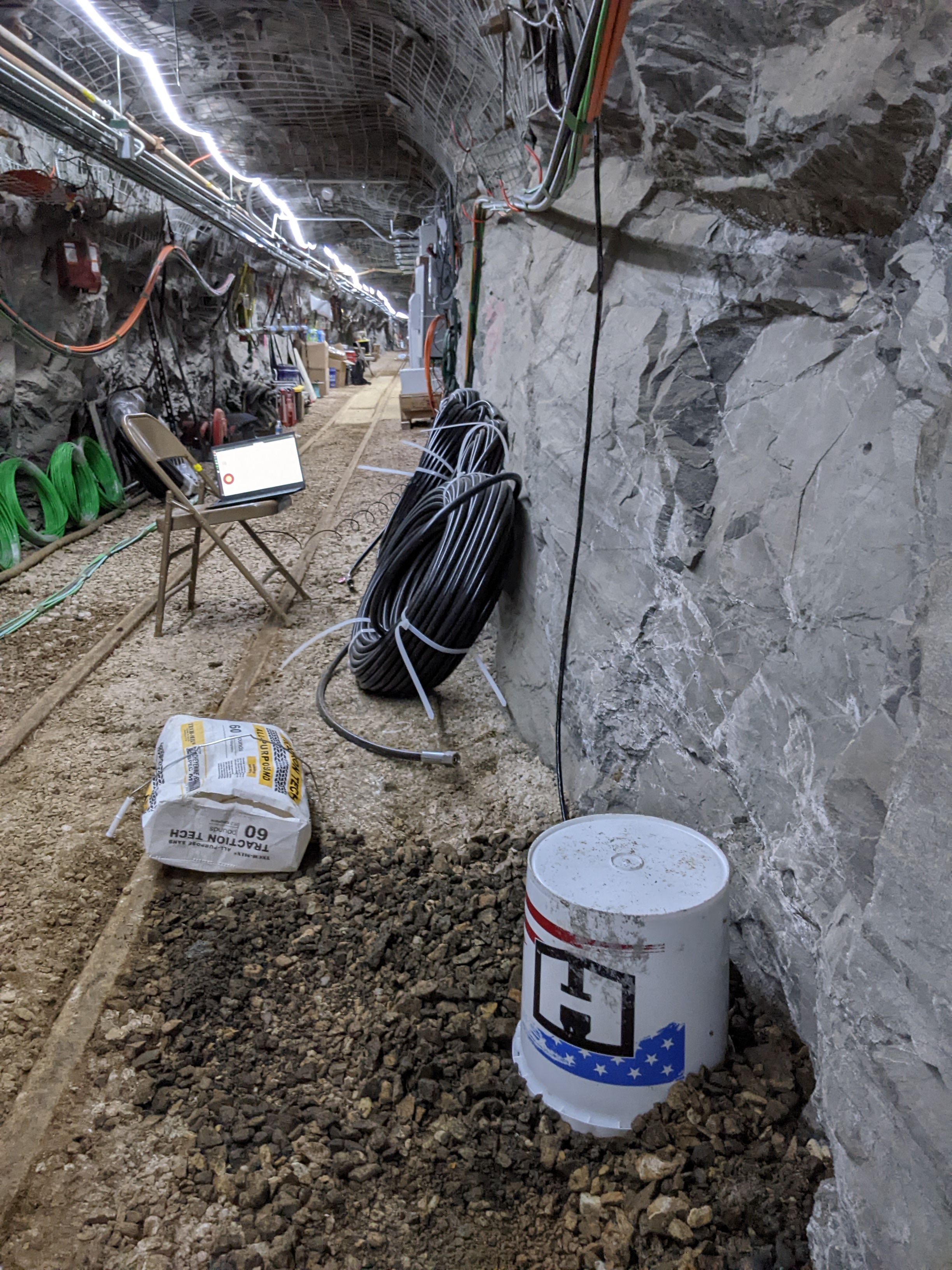
This dataset contains the north seeking gyro data for each of the 11 boreholes drilled at the Experiment 2 testbed on the 4100 foot level of the SURF (Sanford Underground Research Facility). Each...
-
This point vector dataset represents the location of wells and contains construction information of wells used for groundwater head and head-difference observations for the Rio Grande...
-
Notice to Data Users: The documentation for this data set was provided solely by the Principal Investigator(s) and was not further developed, thoroughly reviewed, or edited by NSIDC. Thus, support...
-
This polygon vector dataset represents the model grid and associated attributes for the Rio Grande transboundary integrated hydrologic model and water-availability analysis, New Mexico and Texas,...
-
A large spill of wastewater from oil and gas operations was discovered adjacent to Blacktail Creek near Williston, North Dakota in January 2015. To determine the effects of this spill on streambed...
-
This line vector dataset represents the faults and dikes used as input data for the Rio Grande transboundary integrated hydrologic model and water-availability analysis, New Mexico and Texas,...
