
Search Data.gov
Found 639 dataset(s) matching "stratigraphy".
-
In 2008, the U.S. Geological Survey (USGS), Woods Hole Coastal and Marine Science Center (WHCMSC), in cooperation with the U.S. Army Corps of Engineers conducted a geophysical and sampling survey...
-
The objective of this project is to use a multi-disciplinary, three-tiered approach to assess the geothermal resource and determine the feasibility of implementing a large-scale, direct-use...
-
This data set contains measurements of snow temperature, density, stratigraphy, grain size, wetness, depth, and snow water equivalent (SWE) for snow pits at two study sites in Colorado, USA: Grand...
-
In 2006 and 2007, the U.S. Geological Survey, in partnership with Louisiana Department of Natural Resources and the University of New Orleans, conducted geologic mapping to characterize the sea...
-
From September 16 through 23, 2015, researchers from the U.S. Geological Survey (USGS) conducted an offshore geophysical survey to map the shoreface and determine Holocene stratigraphy near...
-
This dataset represents coal mine density and storage volumes within individual local and accumulated upstream catchments for NHDPlusV2 Waterbodies based on the National Coal Resource Dataset...
-
Geologic, sediment texture, and physiographic zone maps characterize the sea floor south and west of Martha's Vineyard and north of Nantucket, Massachusetts. These maps were derived from...
-
In 2008, the U.S. Geological Survey (USGS), Woods Hole Coastal and Marine Science Center (WHCMSC), in cooperation with the U.S. Army Corps of Engineers conducted a geophysical and sampling survey...
-
In 2006 and 2007, the U.S. Geological Survey, in partnership with Louisiana Department of Natural Resources and the University of New Orleans, conducted geologic mapping to characterize the sea...
-
In 2008, the U.S. Geological Survey (USGS), Woods Hole Coastal and Marine Science Center (WHCMSC), in cooperation with the U.S. Army Corps of Engineers conducted a geophysical and sampling survey...
-
In 2010, the U.S. Geological Survey in Woods Hole, MA and St. Petersburg, FL, in partnership with the U.S. Army Corps of Engineers, Mobile District conducted geologic mapping to characterize the...
-
In 2007, the California Ocean Protection Council initiated the California Seafloor Mapping Program (CSMP), designed to create a comprehensive seafloor map of high-resolution bathymetry, marine...
-
In 2007, the California Ocean Protection Council initiated the California Seafloor Mapping Program (CSMP), designed to create a comprehensive seafloor map of high-resolution bathymetry, marine...
-
During June 15-23 and July 10-12, 2014, the U.S. Geological Survey (USGS) conducted a nearshore geologic assessment, including bathymetric mapping, along Fire Island, New York (NY). This work was...
-
In 2007, the California Ocean Protection Council initiated the California Seafloor Mapping Program (CSMP), designed to create a comprehensive seafloor map of high-resolution bathymetry, marine...
-
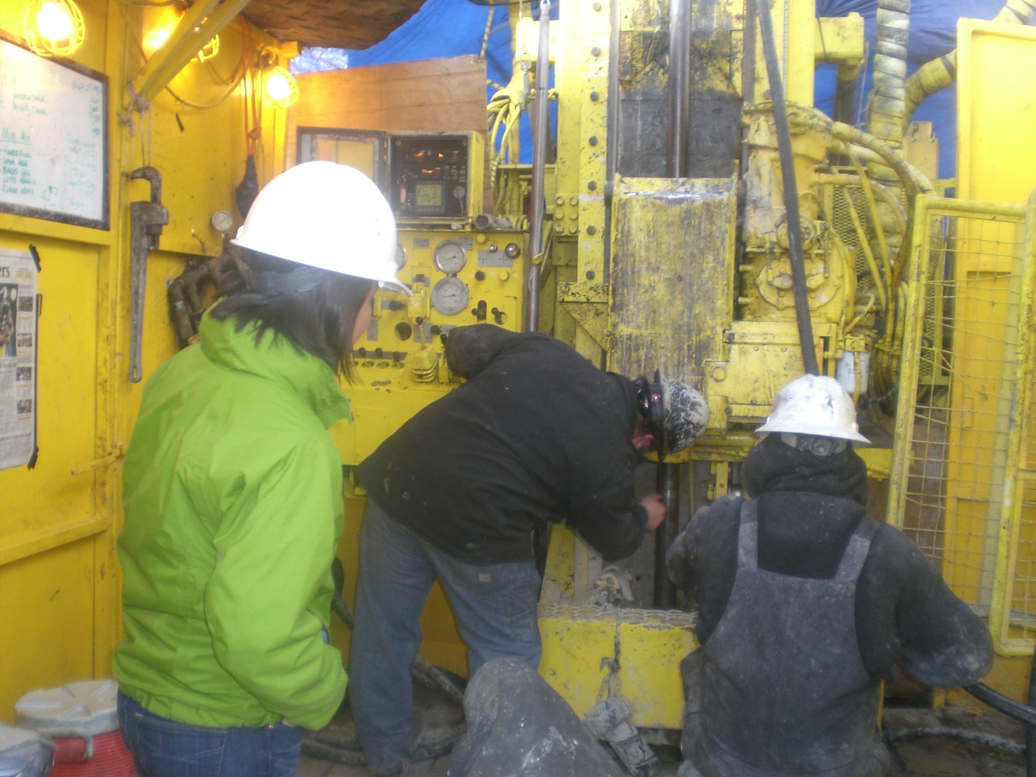
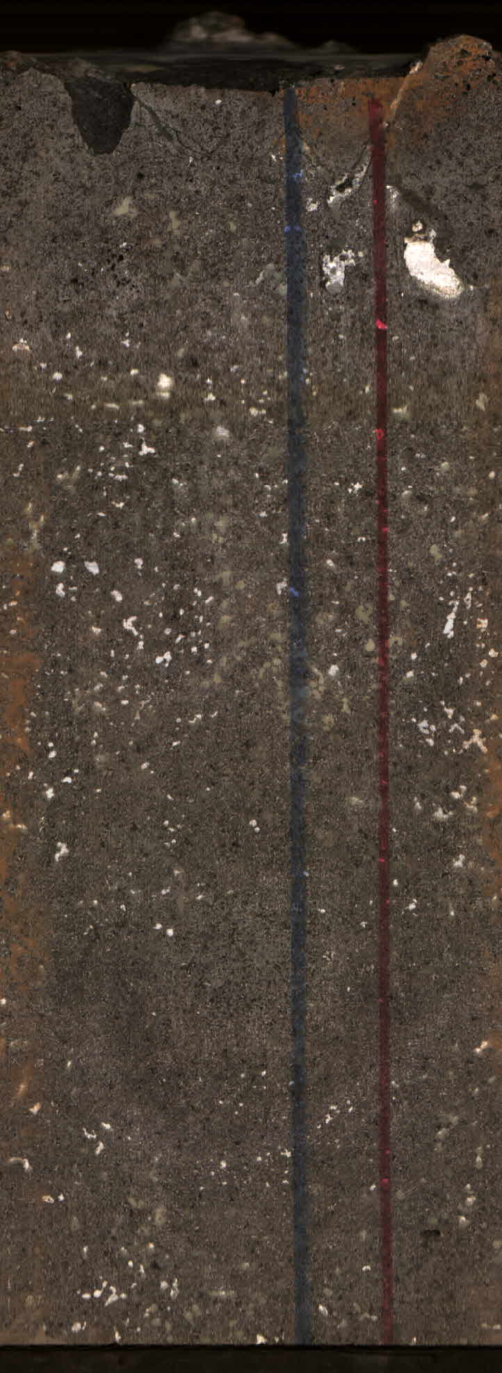
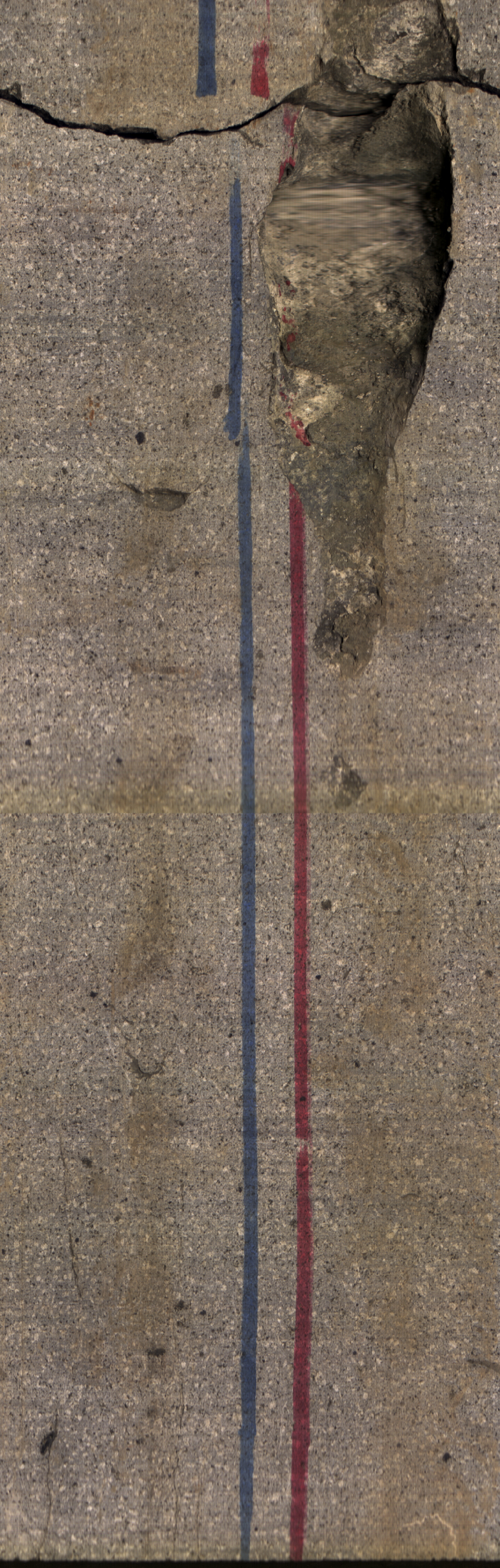
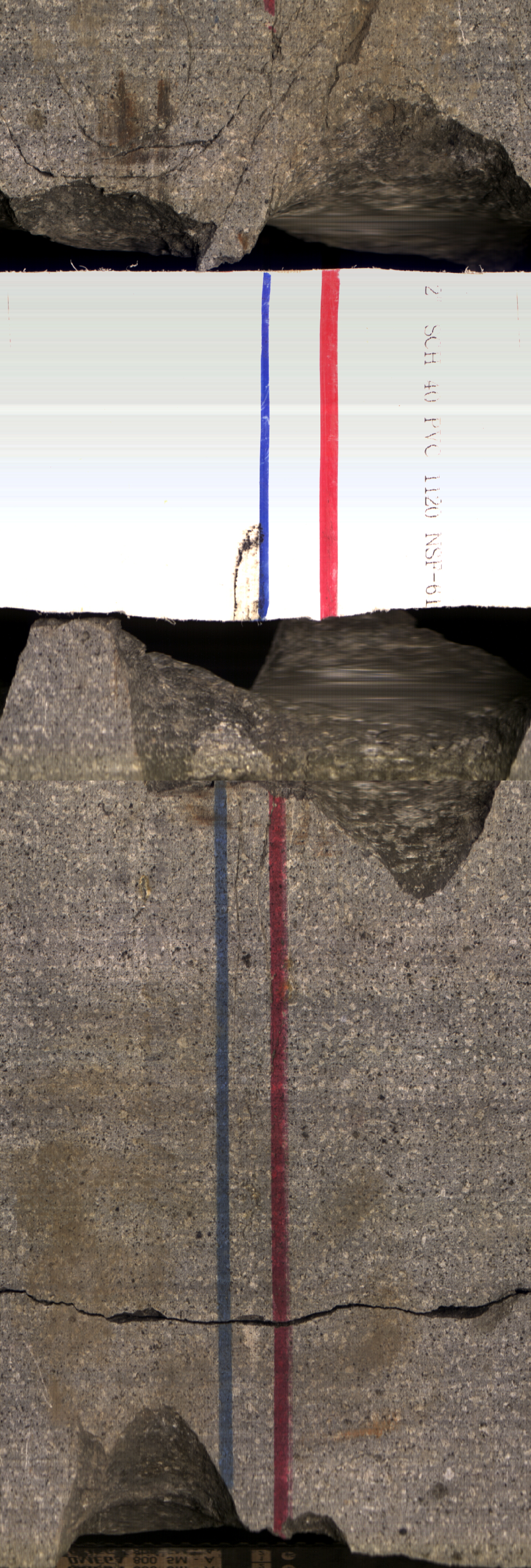
This portion of the data release contains information on cores that were collected by the U.S. Geological Survey in Kahana Valley, O'ahu, Hawaii in 2015 and 2017. Sites were cored in order to...
