
Search Data.gov
Found 231 dataset(s) matching "test hole data".
-
A fundamental issue in microhole drilling is that delivering high weight-on-bit (WOB), high torque rotational horsepower to a conventional drill bit does not scale down to the hole sizes necessary...
-
Woods Hole Oceanographic Institution: ESP DENNIS CELL Data
-
Woods Hole Oceanographic Institution (WHOI)-ESP ROMAN CELL Data
-
Woods Hole Oceanographic Institution (WHOI)-ESP JAKE CELL Data
-
Woods Hole Oceanographic Institution (WHOI)-ESP DENNIS CELL Data
-
Subsurface data analysis, reservoir modeling, and machine learning (ML) techniques have been applied to the Brady Hot Springs (BHS) geothermal field in Nevada, USA to further characterize the...
-
Geology log and drilling prospectus for University of Illinois at Urbana-Champaign (UIUC) Energy Farm.
-
In November 2021, the U.S. Geological Survey collected high-resolution multibeam sonar data in the vicinity of Eel Pond, in Woods Hole, Massachusetts using a dual-head Teledyne Seabat T20-R...
-
The safety, effectiveness and longevity of many construction and geotechnical engineering projects rely on correctly accounting for the evolution of soil properties over time. Critical sediment...
-
The safety, effectiveness and longevity of many construction and geotechnical engineering projects rely on correctly accounting for the evolution of soil properties over time. Critical sediment...
-
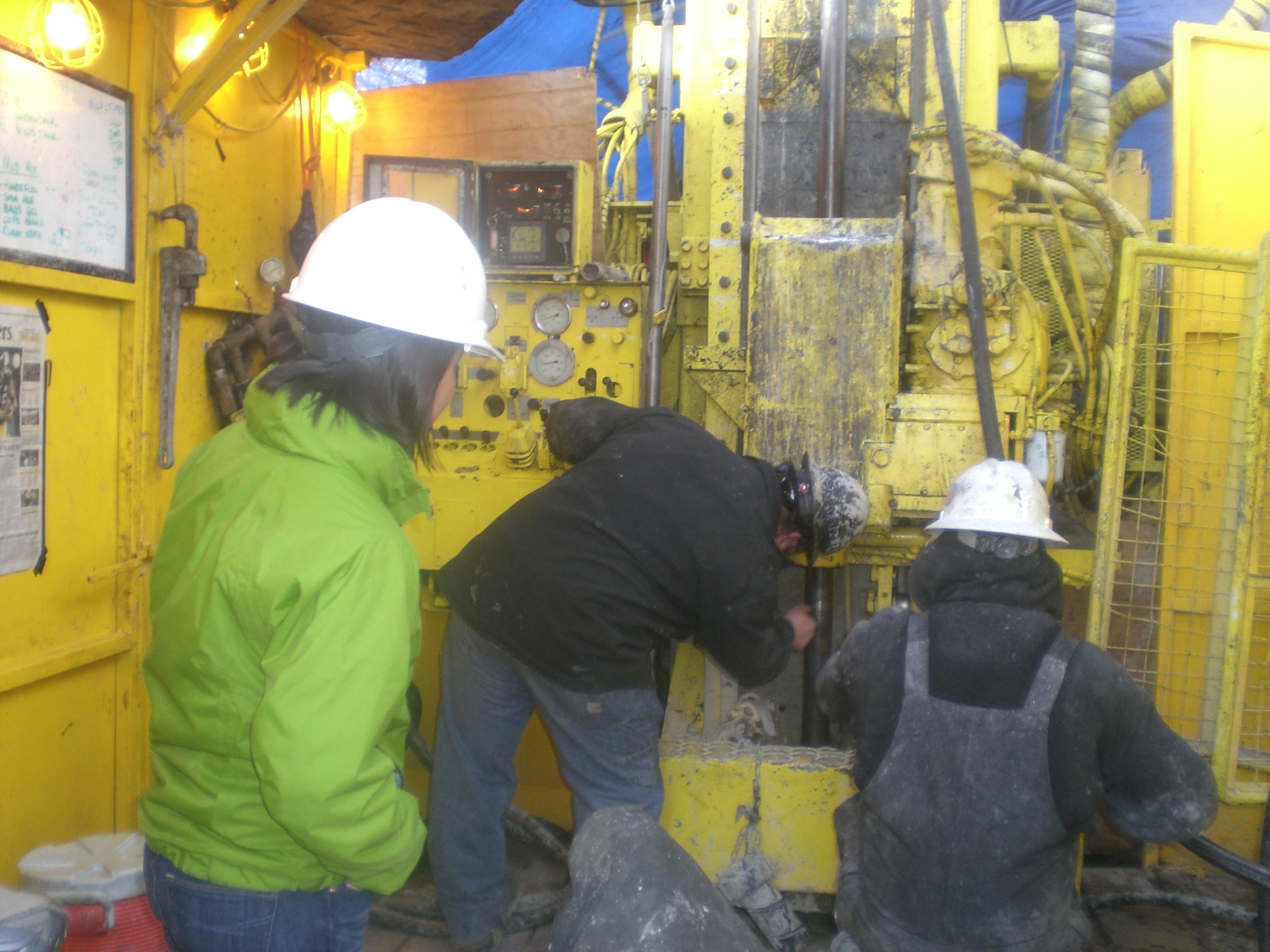
The McGee Mountain geothermal area was selected to test early-stage shallow temperature survey techniques and drill two slim holes to test the resource. Geothermal Technical Partners, Inc. was...
-
This part of the Data Release contains the water-quality data compiled and synthesized from various sources (including data from water-quality samples collected by the USGS in 2015 from 26 sites)....
-
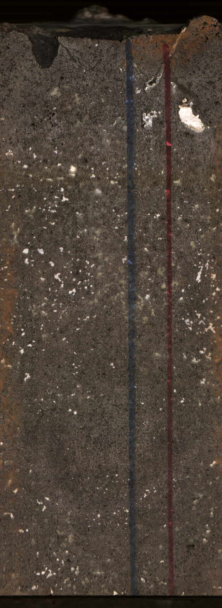
This data release is a compilation of vitrinite reflectance (Ro) data from the Southwestern Wyoming Province in Wyoming, Colorado, and Utah. The data includes about 1,200 Ro measurements from...
-
This point dataset contains geologic information concerning regolith thickness and top-of-bedrock altitude at selected well and test-hole locations in the Lower Gunnison River Basin in Delta,...
-
Small Uncrewed Aircraft Systems (sUAS) were used to collect aerial remote sensing data over Town Neck Beach, Massachusetts. The area is a highly trafficked public beach with a parking lot,...
-
Small Uncrewed Aircraft Systems (sUAS) were used to collect aerial remote sensing data over Town Neck Beach, Massachusetts. The area is a highly trafficked public beach with a parking lot,...
-
Small Uncrewed Aircraft Systems (sUAS) were used to collect aerial remote sensing data over Town Neck Beach, Massachusetts. The area is a highly trafficked public beach with a parking lot,...
-
This data package includes the benthic, urchin, and fish observation data collected for coral reef carbonate budget assessments by the Ecosystem Sciences Division (ESD) of NOAA's Pacific Island...
-
The EGS Collab project is evaluating a site for Experiment 2 (hydraulic fracturing/shearing) at a depth of 1.25 km in the Sanford Underground Research Facility (SURF) on the 4100 Level. Two early...
