
Search Data.gov
Found 486 dataset(s) matching "permeability".
-
Digital surfaces and thicknesses of selected hydrogeologic units of the Floridan aquifer system were developed to define an updated hydrogeologic framework as part of the U.S. Geological Survey...
-
Six samples were evaluated in unconfined and triaxial compression, their data are included in separate excel spreadsheets, and summarized in the word document. Three samples were plugged along the...
-
This report describes all of the work done in Phase I of a geothermal exploration project in the Tularosa Basin, as well as an outline for Phase II work, and more.
-
Data from which figures and table in "A Model for Risk-Based Screening and Prioritization of Human Exposure to Chemicals from Near-Field Sources" were constructed. This dataset is associated...
-
Tularosa Basin Play Fairway Analysis: Partial Basin and Range Heat and Zones of Critical Stress Maps
Interpolated maps of heat flow, temperature gradient, and quartz geothermometers are included as TIF files. Zones of critical stress map is also included as a TIF file. The zones are given a 5km...
-
This data release contains monthly 270-meter gridded Basin Characterization Model (BCMv8) climate inputs and hydrologic outputs for 17 California Coastal Basins (Eel River, Fort Bragg, Fort Ross,...
-
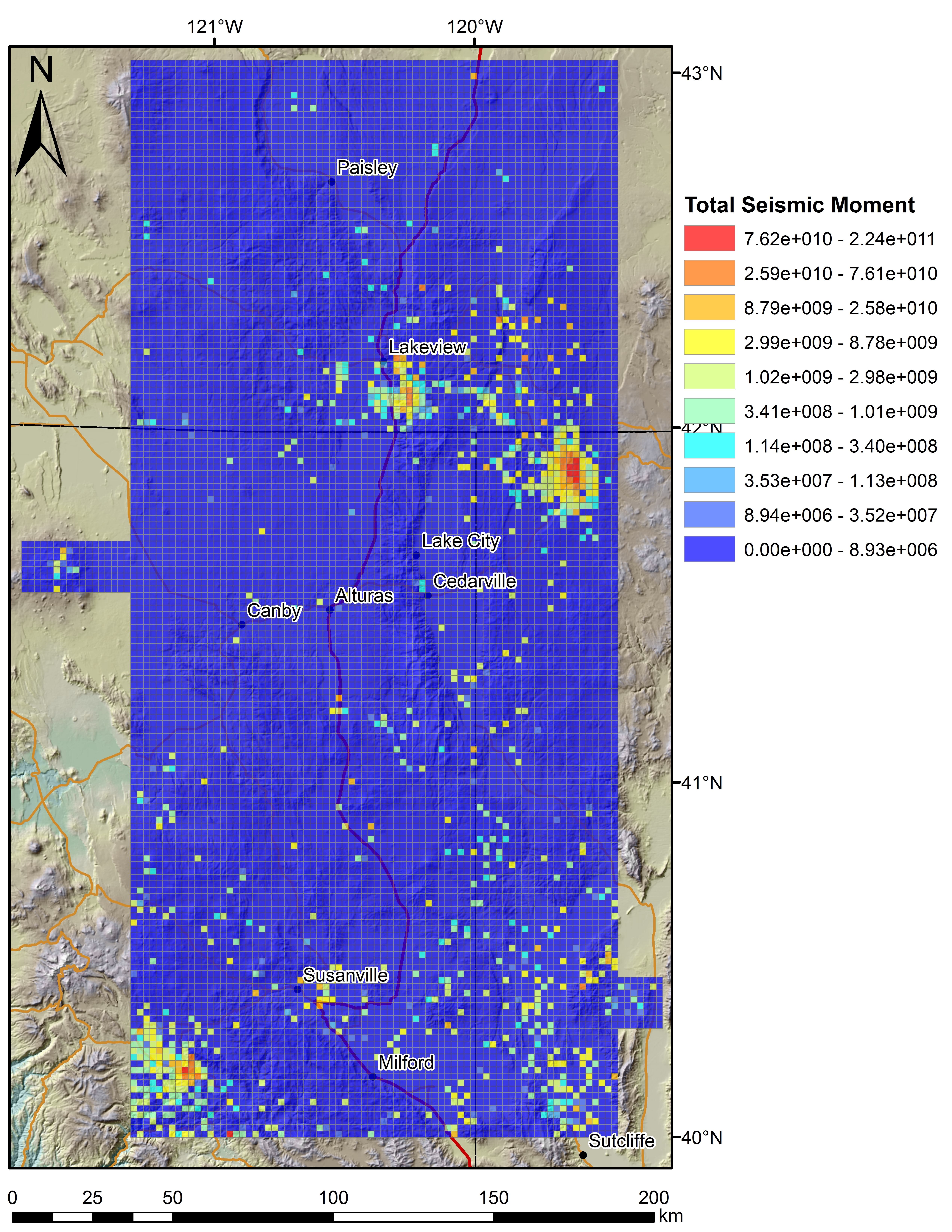
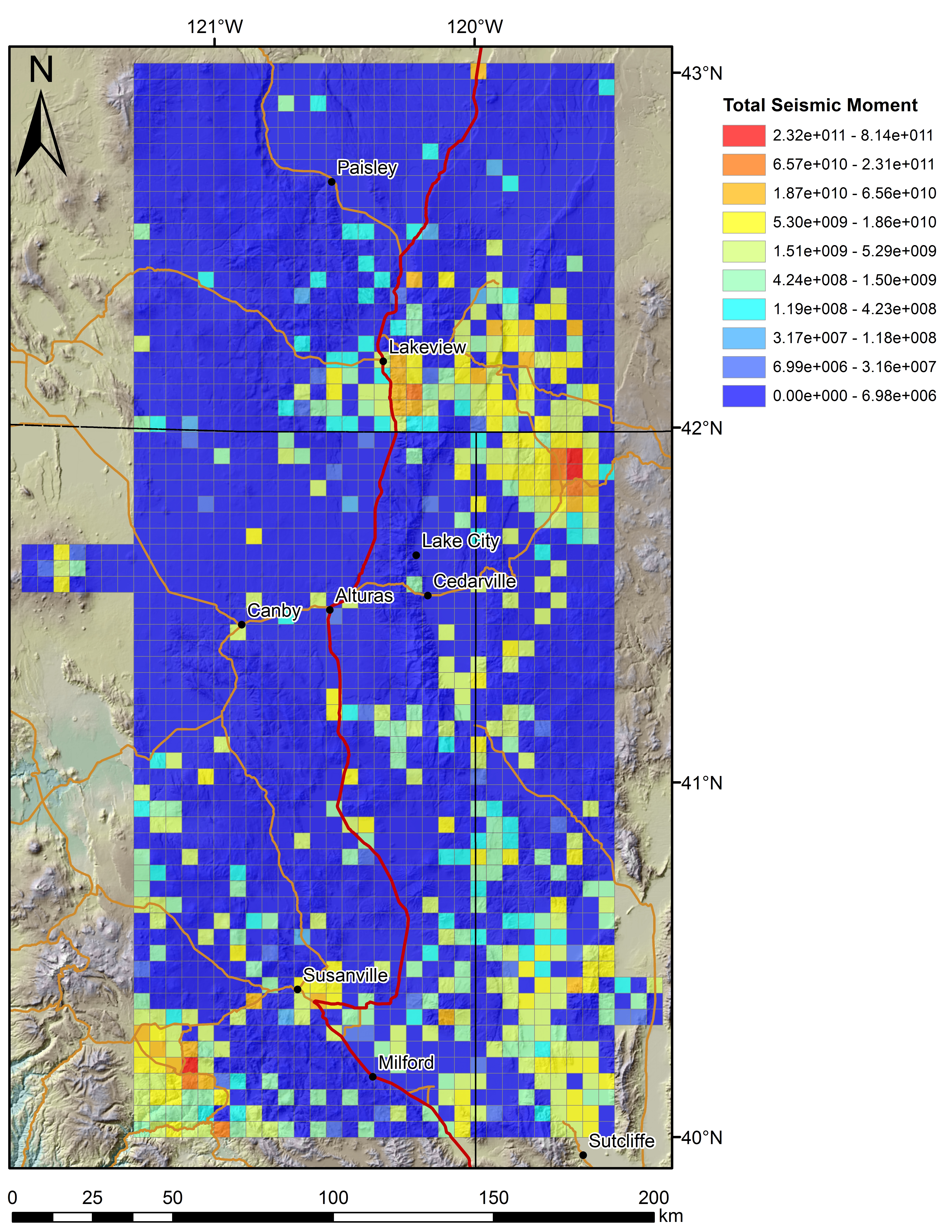
This dataset contains experimental and acoustic data from shear reactivation tests that investigate the relationship between fluid-injection rate, pore pressure distribution, and seismic moment...
-
The U.S. Geological Survey (USGS) has developed the PRObability of Streamflow PERmanence (PROSPER) model, a GIS raster-based empirical model that provides streamflow permanence probabilities...
-
This data release includes downscaled climate inputs and hydrologic outputs from the Basin Characterization Model (BCM) version 8 (v8), described in Flint et al. (2021a), in a 30 by 30-meter...
-
The upper portion of the Troublesome Aquifer is the sole source of water for domestic use in the Greater Pole Creek Basin, situated in the western portion of the upper Fraser River Valley in Grand...
-
In 2024, the United States Geological Survey (USGS) compiled rock properties data from the USGS Core Research Center's (CRC) database for the Southwestern Wyoming Province and adjoining areas to...
-
Fine-grained sediments, or “fines,” are nearly ubiquitous in natural sediments, even in the predominantly coarse-grained sediments that host gas hydrates. Fines within these sandy sediments can be...
-
This data release contains monthly 270-meter gridded Basin Characterization Model (BCMv8) climate inputs and hydrologic outputs for Mattole (MAT). Gridded climate inputs include: precipitation...
-
This data release contains monthly 270-meter gridded Basin Characterization Model (BCMv8) climate inputs and hydrologic outputs for Eel River (EEL). Gridded climate inputs include: precipitation...
-
This data release contains monthly 270-meter gridded Basin Characterization Model (BCMv8) climate inputs and hydrologic outputs for San Francisco Coastal South (SFCS). Gridded climate inputs...
-
This database contains a comprehensive inventory of geologic (coral, coral reef, limestone, and sediment) cores and samples collected, analyzed, published, and/or archived by, or in collaboration...
-
This USGS data release represents the data from the following publication: Maurer, D.K., 2011, Geologic framework and hydrogeology of the middle Carson River Basin, Eagle, Dayton, and Churchill...
-
These data tables describe the inputs and parameters for the 3D petroleum systems model. This section of data is included for users wishing to rebuild the 3D basin model from scratch, either in...
