
Search Data.gov
Found 28791 dataset(s) matching "temperature data".
-
The United States Geological Survey (USGS) is studying the effects of climate change on ocean acidification within the Gulf of Mexico; dealing specifically with the effect of ocean acidification...
-
The data release consists of a single NetCDF file with results from a suite of ice sheet model simulations. We ran with Community Ice Sheet Model (CISM2) with input from models used in the...
-
This is the assimilated daily data from NASA Ocean Biogeochemical Model (NOBM). The NOBM is a comprehensive, interactive ocean biogeochemical model coupled with a circulation and radiative model...
-
Groundwater data were collected in the spring and fall of 2008 from three sites representing different geological settings and biogeochemical conditions within the surficial glacial aquifer of...
-
"HEX" files are the raw output of the Sea-Bird oceanographic CTD profilers. They contain frequencies and voltages output by sensors in a proprietary format set by Sea-Bird Electronics, Inc. These...
-
This data set presents attributes of floodplain ecosystem characteristics including floodplain soil denitrification, floodplain soil biogeochemistry, floodplain vegetation, floodplain...
-
The United States Geological Survey (USGS) is studying the effects of climate change on ocean acidification within the Gulf of Mexico; dealing specifically with the effect of ocean acidification...
-
Data represent response variables from a series of mesocosm experiments to assess how estuarine macrophyte communities respond to nitrogen loading under two different thermal regimes. This...
-
The U.S. Geological Survey collected low-altitude airborne thermal infrared data and visual imagery via a multirotor, small unoccupied aircraft system deployed from the northern bank of...
-
This is the assimilated monthly data from NASA Ocean Biogeochemical Model (NOBM). The NOBM is a comprehensive, interactive ocean biogeochemical model coupled with a circulation and radiative model...
-
"HEX" files are the raw output of the Sea-Bird oceanographic CTD profilers. They contain frequencies and voltages output by sensors in a proprietary format set by Sea-Bird Electronics, Inc. These...
-
These are the data supporting the manuscript, "Benthic macroinvertebrate community response to environmental changes over seven decades in an urbanized estuary in the northeastern United States"....
-
"HEX" files are the raw output of the Sea-Bird oceanographic CTD profilers. They contain frequencies and voltages output by sensors in a proprietary format set by Sea-Bird Electronics, Inc. These...
-
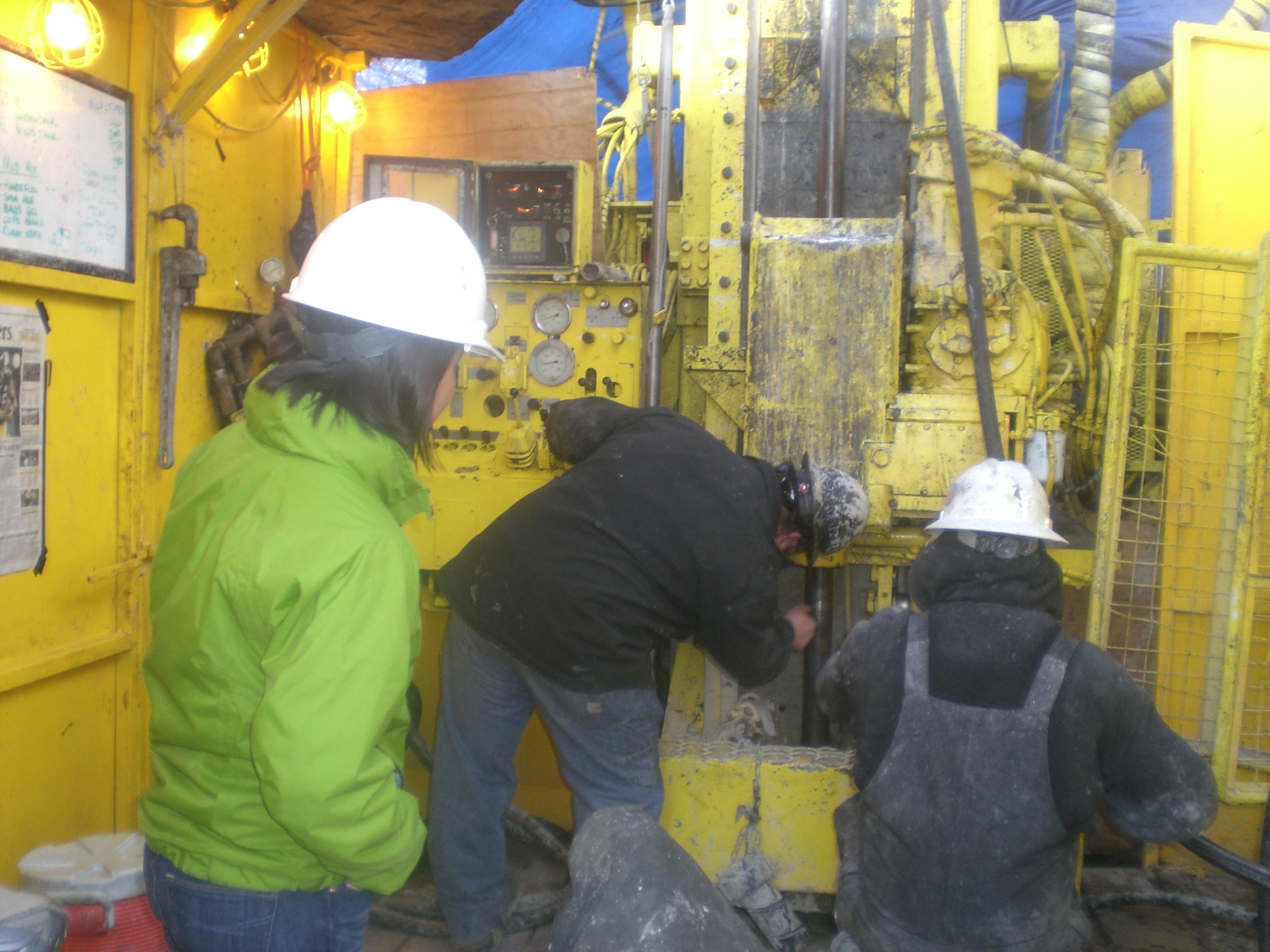
Geophysical measurements were collected by the U.S. Geological Survey (USGS) at five sites in Interior Alaska in September 2021 for the purposes of imaging permafrost structure and quantifying...
-
We systematically surveyed 94 of the 122 nearshore rocky reefs in the California south coast study region (SCSR). This synoptic baseline survey was conducted at 75 individual sites in 2011 and 88...
-
Restoration in the tidally restricted Herring River Estuary in Wellfleet, MA benefits from understanding pre-restoration sediment transport conditions. Submerged sensors were deployed at four...
