
Search Data.gov
Found 1724 dataset(s) matching "river temperatures".
-
This data release provides remotely sensed data, field measurements, and MATLAB code associated with an effort to produce image-derived velocity maps for a reach of the Sacramento River in...
-
This data release contains monthly 270-meter gridded Basin Characterization Model (BCMv8) climate inputs and hydrologic outputs for Russian River (RR). Gridded climate inputs include:...
-
This data release contains monthly 270-meter gridded Basin Characterization Model (BCMv8) climate inputs and hydrologic outputs for Mad River (MRD). Gridded climate inputs include: precipitation...
-
This data release contains monthly 270-meter gridded Basin Characterization Model (BCMv8) climate inputs and hydrologic outputs for Eel River (EEL). Gridded climate inputs include: precipitation...
-
To help determine when winter conditions were changing to spring conditions annually in our four study areas, we determined the first eight-day interval (in accordance with the scale limitations...
-
<p>This data release contains the forcings and outputs of 7-day ahead maximum water temperature forecasting models that made real-time predictions in the Delaware River Basin during 2021....
-
Hydrophysical, hydrochemical, and other data were collected from CTD and pump casts in the Columbia River Estuary from 09 July 1996 to 06 March 1998. Data was collected as part of the Columbia...
-
This dataset provides compiled and computed data from 1900 through 2017 associated with Streamflow statistics used to perform regional analyses for the Brazos, Colorado, Big Cypress, Guadalupe,...
-
This data set is a georeferenced mosaic of high-resolution, aerial thermal infrared (TIR) images of the lower Elkhorn River, Nebraska, presented as a gridded (raster) image in GeoTiff format. The...
-
This dataset includes stream temperatures from a network of 100 data loggers that was installed throughout the Willow-Whitehorse watershed of SE Oregon in September 2014, as well as 10 additional...
-
This dataset includes stream temperatures from a network of 100 data loggers that was installed throughout the Willow-Whitehorse watershed of SE Oregon in September 2014, as well as 10 additional...
-
Twenty-six surveys were carried out under the NOAA “RESTORE” project from 2020-present. The main objective of this project was to determine the spatial and temporal variability of parameters in...
-
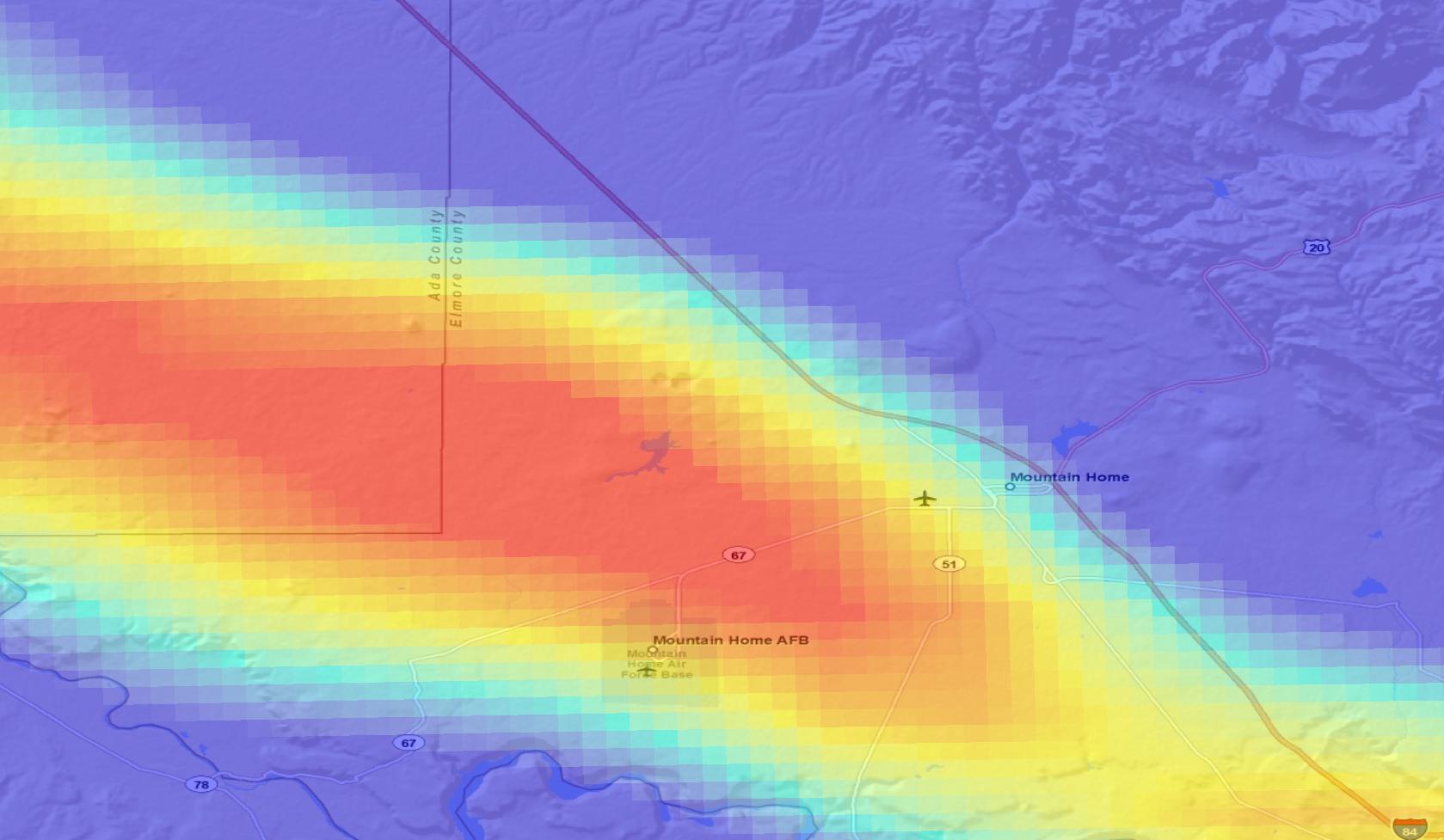
Rapid population growth and declining annual recharge to aquifers in the upper Santa Cruz basin area of southern Arizona, has increased the demand for additional groundwater resources. This...
-
This NCEI accession consists of dissolved inorganic carbon, total alkalinity, pH, water temperature and salinity measured from discrete surface samples, taken at the site of GraysRf_81W_31N...
