
Search Data.gov
Found 869 dataset(s) matching "Sedimentary".
-
The northeastern North Carolina coastal system, from False Cape, Virginia, to Cape Lookout, North Carolina, has been studied by a cooperative research program that mapped the Quaternary geologic...
-
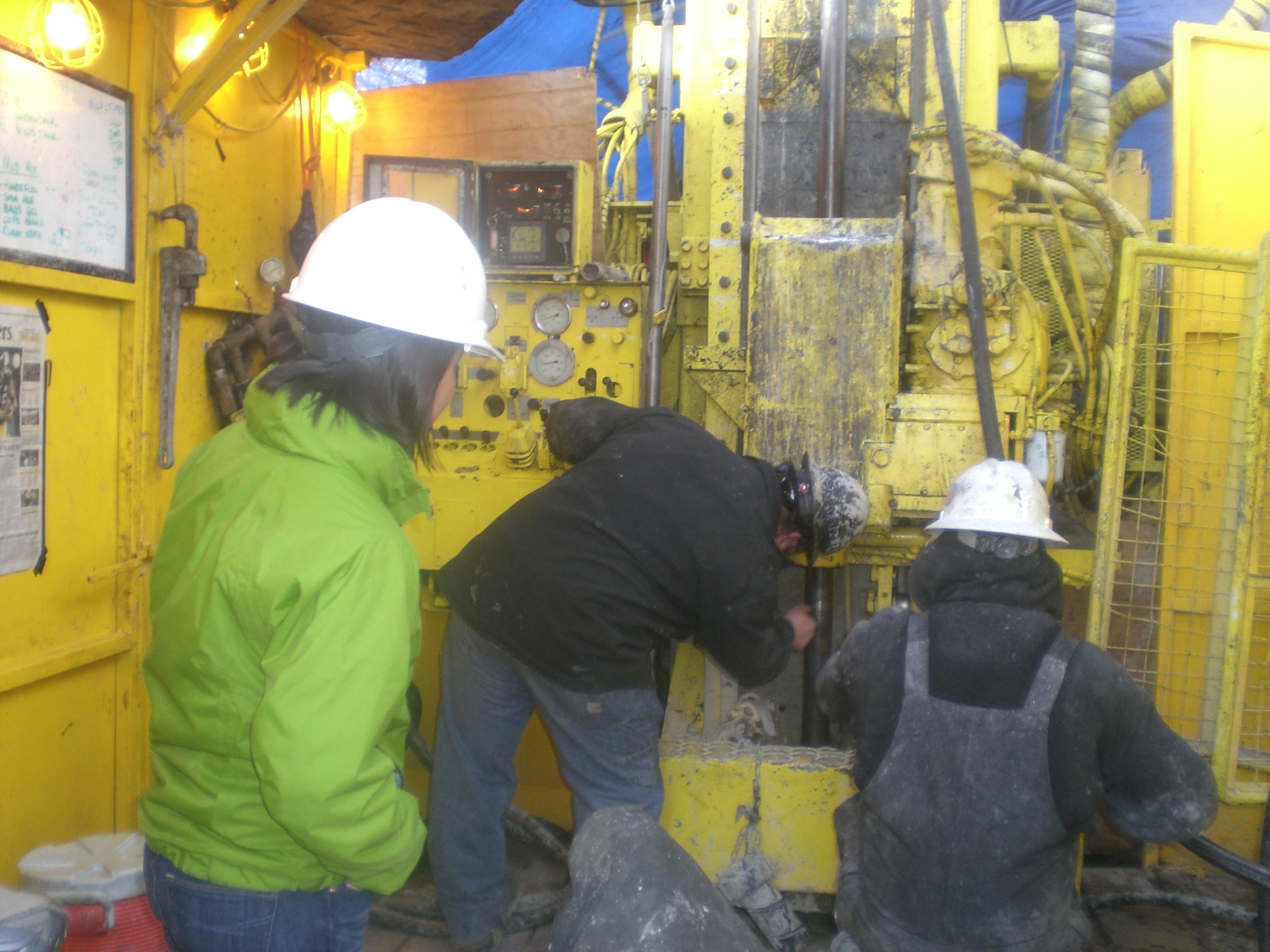
This dataset includes the magnetotelluric (MT) sounding data collected in 2007 in and near the San Luis Valley, Colorado. The U.S. Geological Survey conducted a series of multidisciplinary...
-
This dataset includes the magnetotelluric (MT) sounding data collected in 2006 in the Southern San Luis Valley, Colorado. The U.S. Geological Survey conducted a series of multidisciplinary...
-
A digital model of the sedimentary Northern Atlantic Coastal Plain aquifer system is composed of 20 rasters and hydrogeologic unit extent polygons. Rasters describe the top elevations of regional...
-
The northeastern North Carolina coastal system, from False Cape, Virginia, to Cape Lookout, North Carolina, has been studied by a cooperative research program that mapped the Quaternary geologic...
-
This dataset includes the magnetotelluric (MT) sounding data collected in 2007 in and near the San Luis Valley, Colorado. The U.S. Geological Survey conducted a series of multidisciplinary...
-
This dataset includes the magnetotelluric (MT) sounding data collected in 2007 in and near the San Luis Valley, Colorado. The U.S. Geological Survey conducted a series of multidisciplinary...
-
This dataset includes the magnetotelluric (MT) sounding data collected in 2007 in and near the San Luis Valley, Colorado. The U.S. Geological Survey conducted a series of multidisciplinary...
-
This dataset includes the magnetotelluric (MT) sounding data collected in 2007 in and near the San Luis Valley, Colorado. The U.S. Geological Survey conducted a series of multidisciplinary...
-
A digital model of the sedimentary Northern Atlantic Coastal Plain aquifer system is composed of 20 rasters and hydrogeologic unit extent polygons. Rasters describe the top elevations of regional...
-
This 1:24,000-scale geologic map includes new geologic mapping as well as compilation and revision of previous geologic maps. Field investigations were conducted from 2009-2011, while also...
-
This dataset includes the magnetotelluric (MT) sounding data collected in 2006 in the Southern San Luis Valley, Colorado. The U.S. Geological Survey conducted a series of multidisciplinary...
-
This dataset includes the magnetotelluric (MT) sounding data collected in 2009 in and near the San Luis Basin, New Mexico. The U.S. Geological Survey conducted a series of multidisciplinary...
-
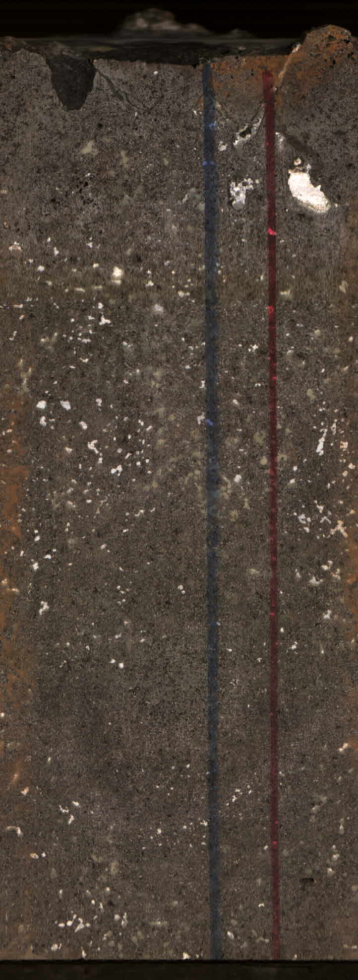
A total of 84 surficial sediments samples were collected aboard two cruises from Block Island Sound as part of a Master's Thesis completed at the University of Rhode Island. Sampling was performed...
-
This dataset includes the magnetotelluric (MT) sounding data collected in 2006 in the Southern San Luis Valley, Colorado. The U.S. Geological Survey conducted a series of multidisciplinary...
-
This dataset includes the magnetotelluric (MT) sounding data collected in 2006 in the Southern San Luis Valley, Colorado. The U.S. Geological Survey conducted a series of multidisciplinary...
-
The northeastern North Carolina coastal system, from False Cape, Virginia, to Cape Lookout, North Carolina, has been studied by a cooperative research program that mapped the Quaternary geologic...
-
The Leadville North 7.5' quadrangle lies at the northern end of the Upper Arkansas Valley, where the Continental Divide at Tennessee Pass creates a low drainage divide between the Colorado and...
