
Search Data.gov
Found 2308 dataset(s) matching "Volcanic".
-
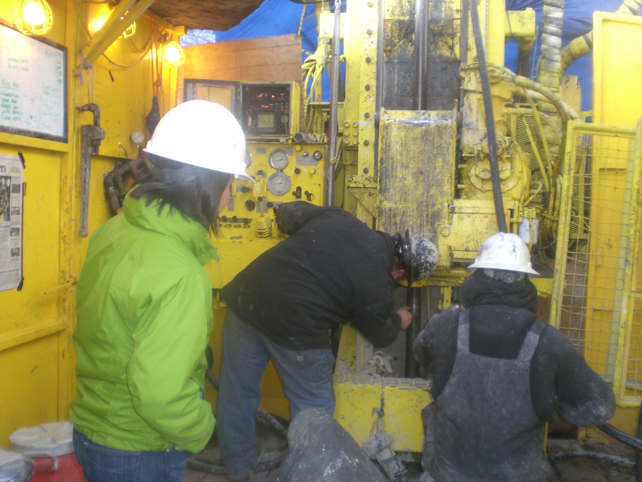
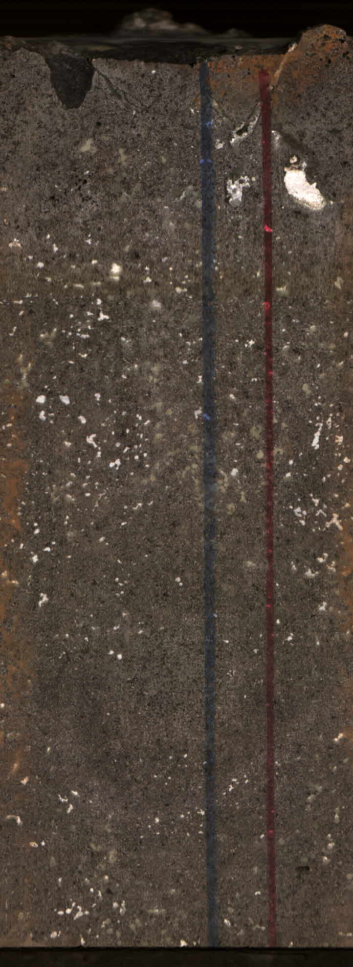
The 35-year-long Puʻuʻōʻō eruption, on the East Rift Zone of Kīlauea Volcano, was the longest volcanic eruption on the Island of Hawaiʻi in the past 100 years (Wright and Klein 2014; Mulliken and...
-
The 35-year-long Puʻuʻōʻō eruption, on the East Rift Zone of Kīlauea Volcano, was the longest volcanic eruption on the Island of Hawaiʻi in the past 100 years (Wright and Klein 2014; Mulliken and...
-
The database for the Washington West 30- by 60-minute quadrangle covers an area of approximately 4,884 square kilometers (1,343 square miles) in and west of the Washington, D.C., metropolitan...
-
This geodatabase contains all the geologic map information for the Geologic Map of the San Juan caldera cluster, southwestern Colorado and is part of U.S. Geological Survey Geologic Investigations...
-
This data set represents the percent of cropland/pasture/fallow land cover in the conterminous United States. The data set was used as an input data layer for a national model to predict nitrate...
-
This presents the results of Phase 1 of the Snake River Plain Play Fairway Analysis project, along with a proposed work for Phase 2. No new data were collected, but we list data sources for our...
-
This data set represents the amount of fresh surface water withdrawal for irrigation, in megaliters per day, in the conterminous United States. The data set was used as an input data layer for a...
-
This data set represents the presence or absence of poorly sorted glacial till east of the Rocky Mountains in the conterminous United States. The data set was used as an input data layer for a...
-
This data set represents the presence or absence of Valley and Ridge carbonate rocks in the conterminous United States. The data set was used as an input data layer for a national model to predict...
-
This data set represents the area of National Resources Inventory irrigation system, tailwater recovery conservation practice, in square kilometers, in the conterminous United States. The data set...
-
This data set represents the average annual nitrogen input from commercial fertilizer applied to agricultural lands, 1992-2001, in kilograms per hectare, in the conterminous United States. The...
-
This data set represents the area of National Resources Inventory surface drainage, field ditch conservation practice, in square kilometers, in the conterminous United States. The data set was...
-
This data set represents soil surface slope, in percent times 1000, in the conterminous United States. The data set was used as an input data layer for a national model to predict nitrate...
-
On 16 July 2021, measurements were made of the volcanic gases emitted from Iliamna Volcano, Mount Douglas, Mount Martin, and Mount Mageik (Alaska, USA) from aboard a fixed-wing aircraft. Two...
-
This data set represents the amount of clay sediment in the soil, in percent times 1000, in the conterminous United States. The data set was used as an input data layer for a national model to...
-
This data set represents 1990 block group population density, in people per square kilometer, in the conterminous United States. The data set was used as an input data layer for a national model...
-
This data set represents the amount of histosols soil taxonomic order, in percent, in the conterminous United States. The data set was used as an input data layer for a national model to...
