
Search Data.gov
Found 2308 dataset(s) matching "Volcanic".
-
The Yellowstone Plateau Volcanic field consists of lavas from the last two million years. The most recent volcanic units are the Central Plateau Member and the older Upper Basin Member rhyolites...
-
The Yellowstone Plateau Volcanic field consists of lavas from the last two million years. The most recent volcanic units are the Central Plateau Member and the older Upper Basin Member rhyolites...
-
The Yellowstone Plateau Volcanic field consists of lavas from the last two million years. The most recent volcanic units are the Central Plateau Member and the older Upper Basin Member rhyolites...
-
Sulphur Banks, near the summit of Kīlauea Volcano on the Island of Hawai`i, is a thermal area where volcanic gases and steam are discharged. A research well drilled in the 1920s at Sulphur Banks...
-
DSCOVR_EPIC_L2_SO2_v03 is the Deep Space Climate Observatory (DSCOVR) Enhanced Polychromatic Imaging Camera (EPIC) Level 2 Sulfur Dioxide (SO2) product with EPIC version 03 inputs. It has key...
-
This digital data release contains geospatial geologic data compiled for northeastern California, a region predominantly covered by Quaternary and Neogene volcanic rocks. Geologic map data were...
-
The Yellowstone Plateau Volcanic field consists of lavas from the last two million years. The most recent volcanic units are the Central Plateau Member and the older Upper Basin Member rhyolites...
-
The Yellowstone Plateau Volcanic field consists of lavas from the last two million years. The most recent volcanic units are the Central Plateau Member and the older Upper Basin Member rhyolites...
-
This dataset accompanies publication "Geologic map of the San Antonio Mountain area, northern New Mexico and southern Colorado". Data presented here include the digital geologic database,...
-
The northern half of the Lake Walcott 30 x 60 minute quadrangle shows the geology of the southern part of the Craters of the Moon lava field, the complex geologic features of the Holocene Kings...
-
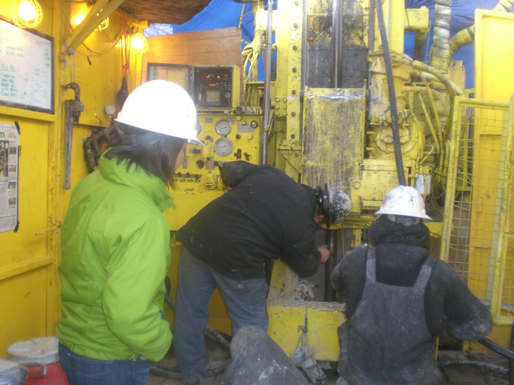
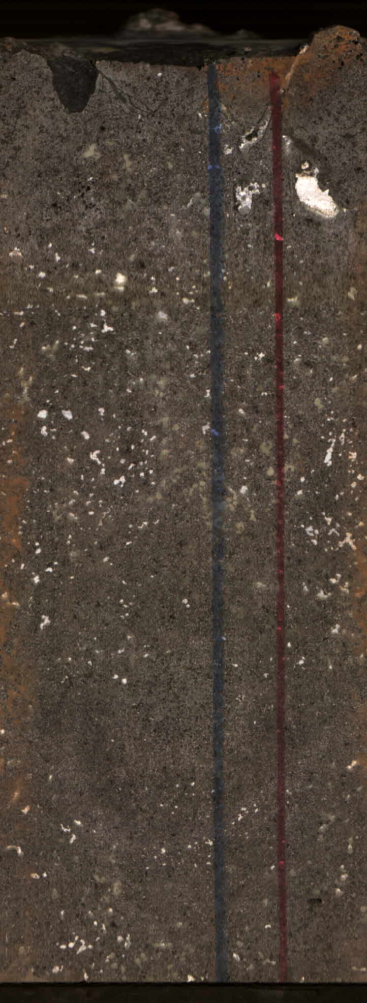
We present the results of 14C age analysis of samples collected during multiple projects that are part of an on-going, joint initiative of the U.S. Geological Survey Volcano Disaster Assistance...
-
Version 3 is the current version of the data set. Older versions will no longer be available and have been superseded by Version 3.The goal of this data set is to create and archive a Level 2 SO2...
-
The 35-year-long Puʻuʻōʻō eruption, on the East Rift Zone of Kīlauea Volcano, was the longest volcanic eruption on the Island of Hawaiʻi in the past 100 years (Wright and Klein 2014; Mulliken and...
-
The 35-year-long Puʻuʻōʻō eruption, on the East Rift Zone of Kīlauea Volcano, was the longest volcanic eruption on the Island of Hawaiʻi in the past 100 years (Wright and Klein 2014; Mulliken and...
-
The 35-year-long Puʻuʻōʻō eruption, on the East Rift Zone of Kīlauea Volcano, was the longest volcanic eruption on the Island of Hawaiʻi in the past 100 years (Wright and Klein 2014; Mulliken and...
-
The 35-year-long Puʻuʻōʻō eruption, on the East Rift Zone of Kīlauea Volcano, was the longest volcanic eruption on the Island of Hawaiʻi in the past 100 years (Wright and Klein 2014; Mulliken and...
-
The 35-year-long Puʻuʻōʻō eruption, on the East Rift Zone of Kīlauea Volcano, was the longest volcanic eruption on the Island of Hawaiʻi in the past 100 years (Wright and Klein 2014; Mulliken and...
-
The 35-year-long Puʻuʻōʻō eruption, on the East Rift Zone of Kīlauea Volcano, was the longest volcanic eruption on the Island of Hawaiʻi in the past 100 years (Wright and Klein 2014; Mulliken and...
-
The 35-year-long Puʻuʻōʻō eruption, on the East Rift Zone of Kīlauea Volcano, was the longest volcanic eruption on the Island of Hawaiʻi in the past 100 years (Wright and Klein 2014; Mulliken and...
