
Search Data.gov
Found 221 dataset(s) matching "well photos".
-
Photos and detailed downhole lithology notes for wells CGEH-1 and 74-2 at the West Flank Coso, Ca FORGE location.
-
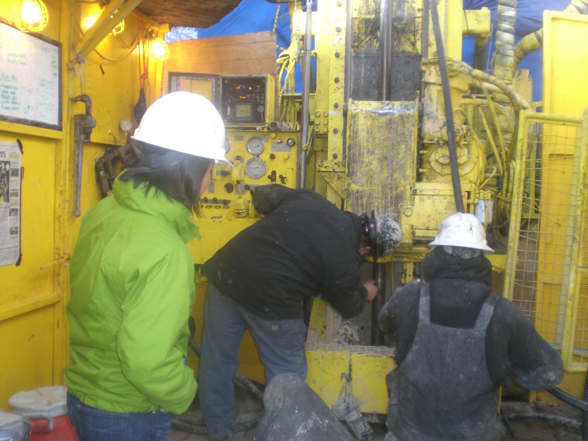
This is a set of 42 core photos, in boxes, from Utah FORGE well 78B-32. The photos show the core both wet and dry from depths of 6700 - 6737 feet and 8502 - 8538 feet.
-
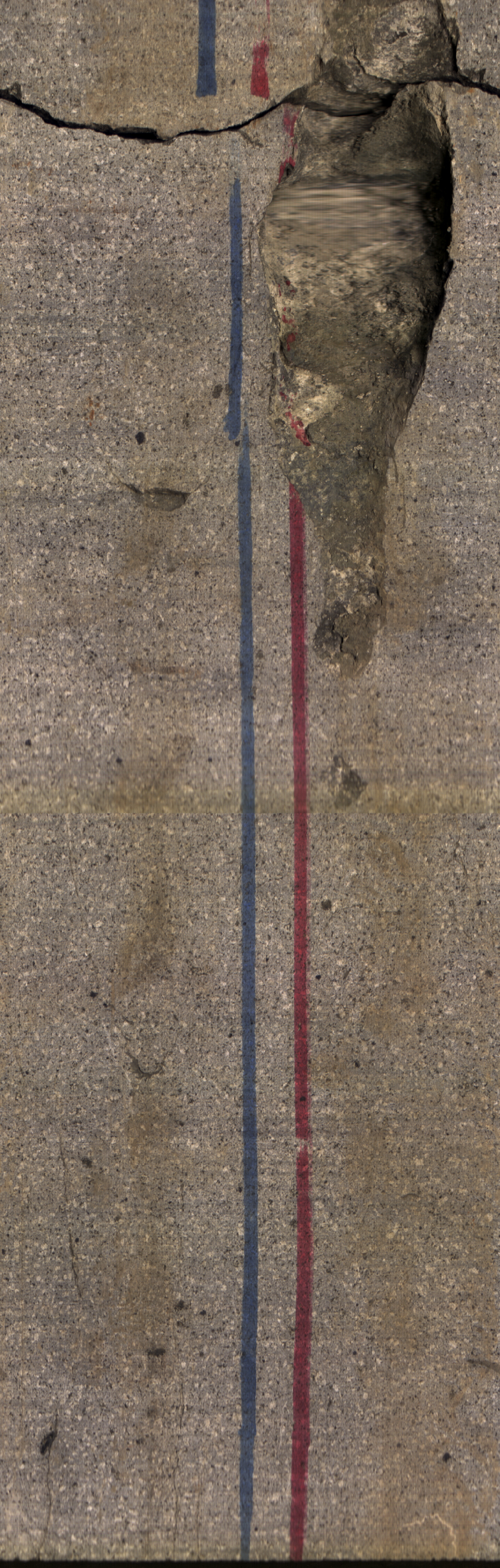
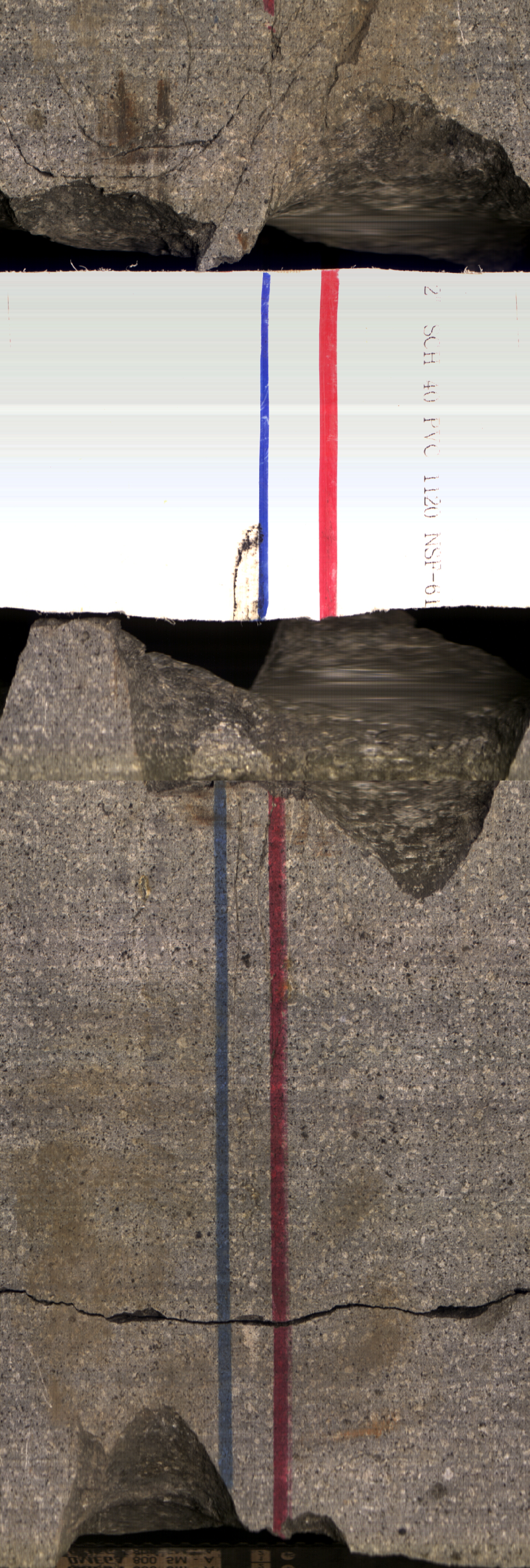
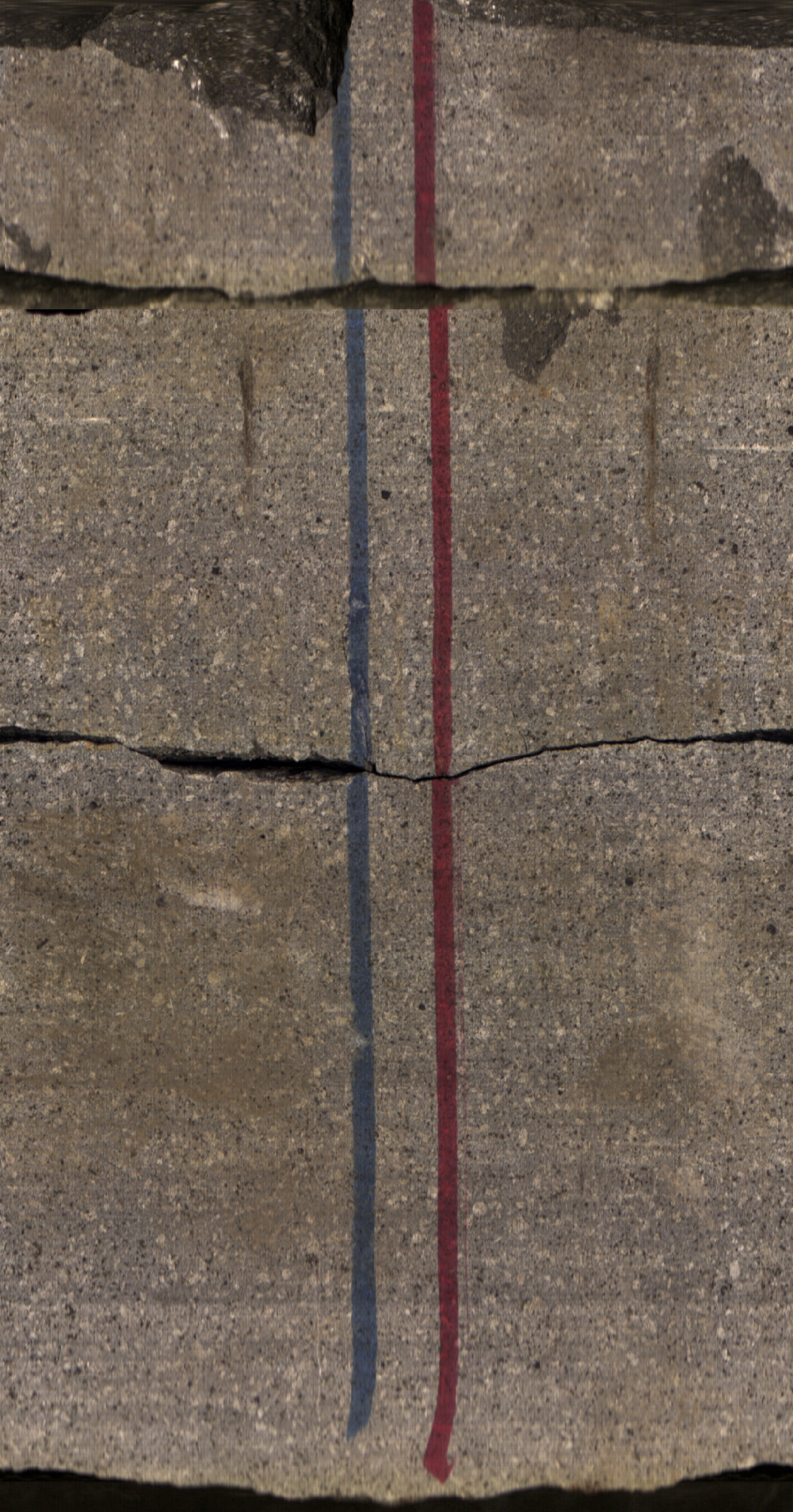
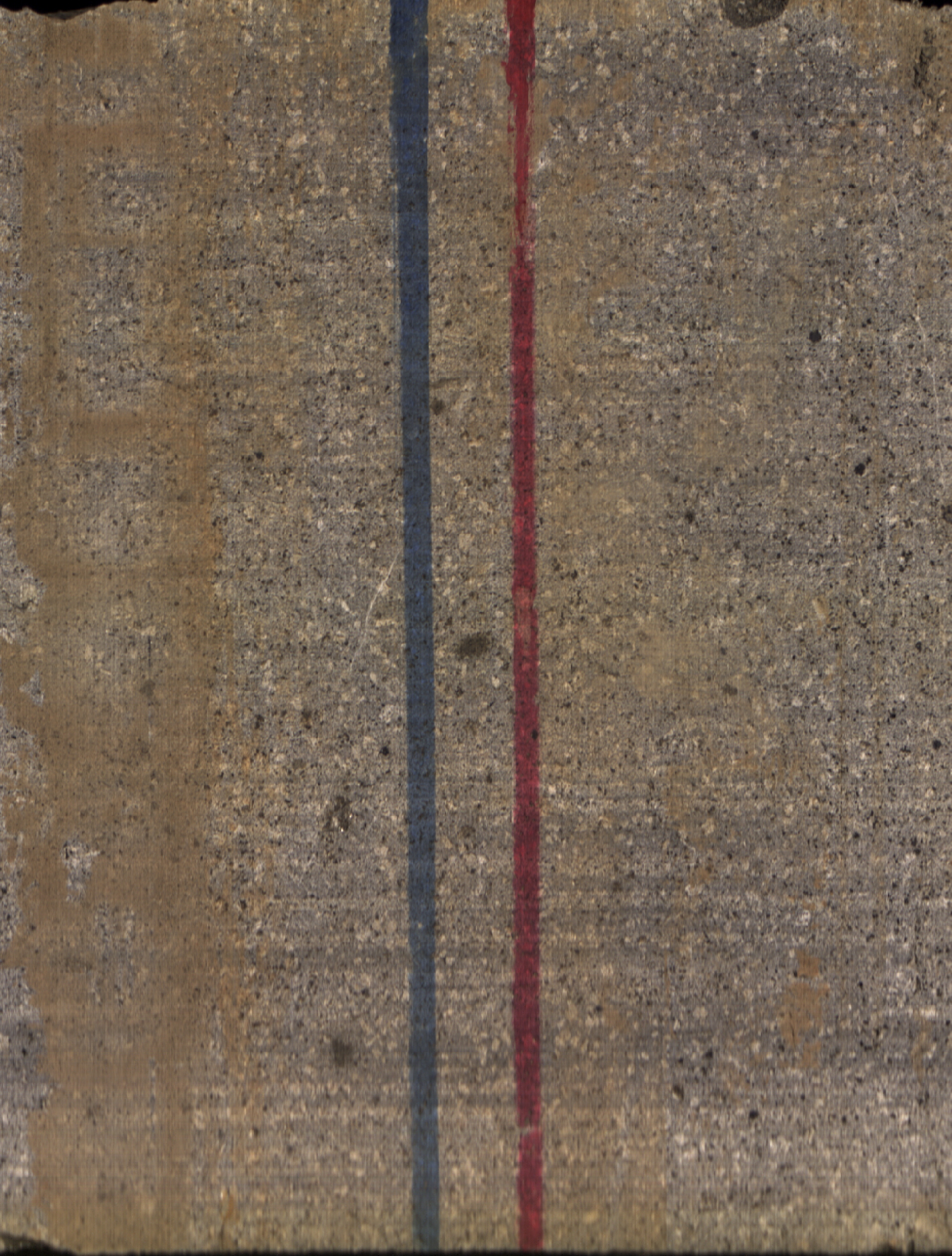
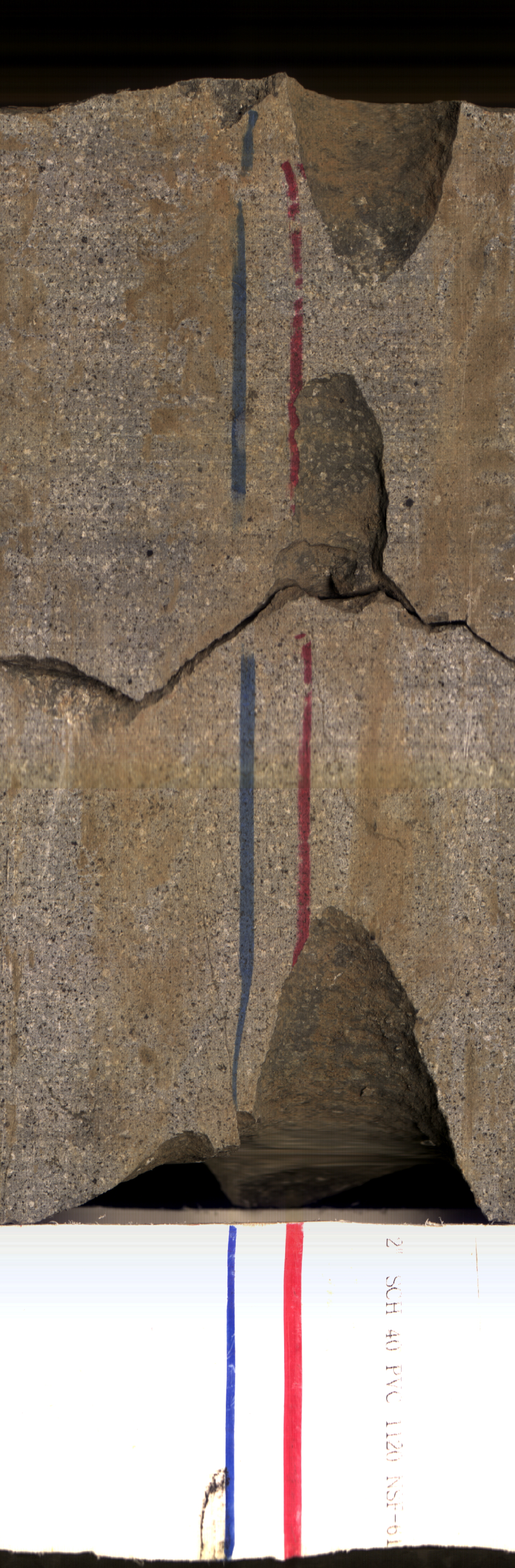
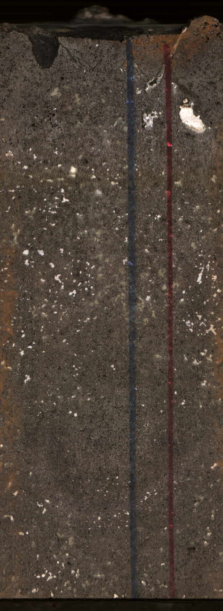
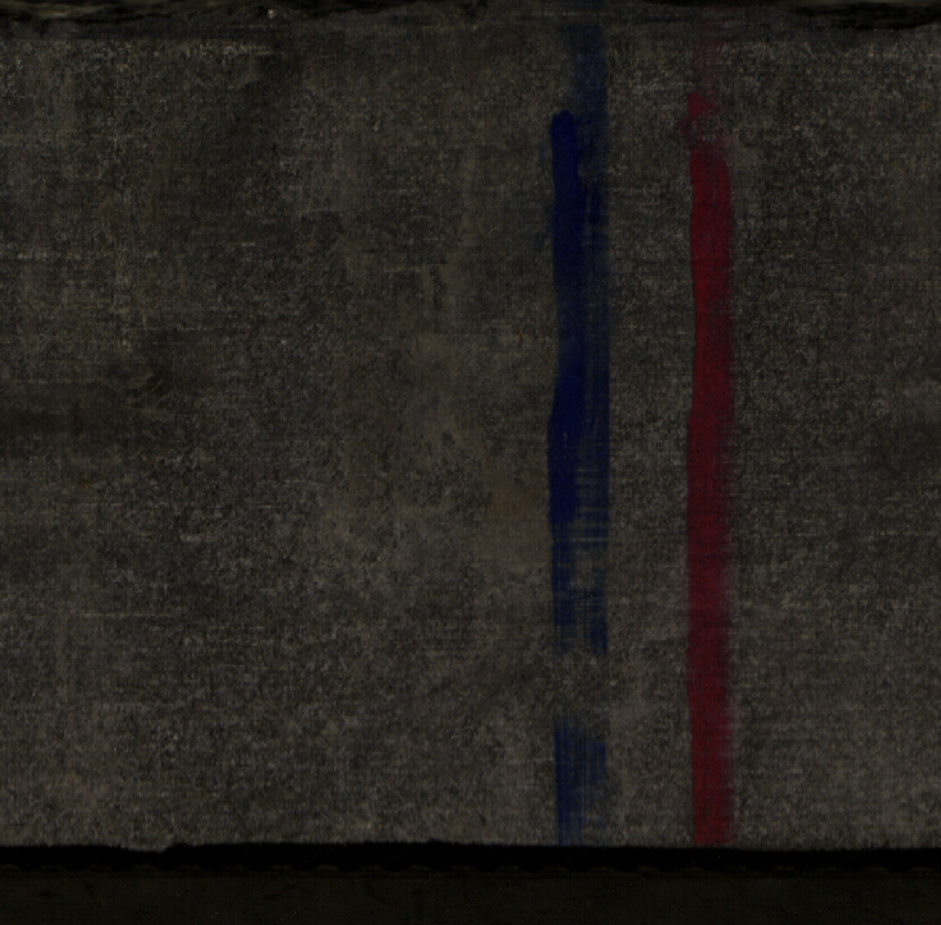
Images of core samples collected from Utah FORGE well 16A(78)-32. These images were created by stitching together multiple photographs resulting in a circumferential view of the cores exterior in...
-
As part of a research study in cooperation with the U.S. Environmental Protection Agency (EPA) and the U.S. Army at Fort Irwin National Training Center, the U.S. Geological Survey (USGS) evaluated...
-
This dataset provides calculated camera-NDVI data for individual regions-of-interest (ROI's) for the phenocam named 'GRCA1PJ' (part of the Phenocam Network, https://phenocam.sr.unh.edu/webcam/)....
-
This submission contains the following data associated with Utah FORGE Phase 2C within the Roosevelt Hot Springs geothermal area: - An ArcGIS shapefile with well locations for wells 58-32, 78-32,...
-
As part of the shear induced permeability test, the rock cores were also scanned with X-ray Computed Tomography (CT) before and after sustainability tests using a modified GE Lightspeed 16 medical...
-
This Atlas presents primary data on meteorology, oceanography, and hydrobiology from the Barents, Kara, Laptev, and White Seas, which were collected during the period 1810-2001. The electronic...
-
This Atlas and accompanying CD-ROM contains oceanographic data collected by the Academy of Sciences, Ministry of Fisheries, and the Hydrometeorological Service of Russia in the Sea of Azov and the...
-
This database of selected borehole records from the Yamal Peninsula, Russia, contains environmental descriptions (textual and numerical) of the units on the index map, and relevant borehole data....
-
The data in this package include fish abundance, length, biomass, and presence/absence data collected at High Priority Reef Areas (HPRA) by Guam Long-term Coral Reef Monitoring Program (GLTMP)...
-
The Arctic Meteorology and Climate Atlas is part of the <a href="https://nsidc.org/data/ewg">NOAA@NSIDC Environmental Working Group (EWG) Atlases</a> data collection.The Arctic Meteorology and...
-
The data in this package include macroinvertebrate belt transect survey data collected collected at High Priority Reef Areas (HPRAs) by the Guam Long-term Coral Reef Monitoring Program (GLTMP)...
-
The data in this package include benthic percent cover data collected at High Priority Reef Areas by the Guam Long-term Coral Reef Monitoring Program (GLTMP). These data were generated through the...
-
Geospatial Environmental Mapping System (GEMS) provides geospatial layers and access to dynamic mapping and environmental monitoring data for LM sites. Analytical chemistry data, groundwater...
-
The U.S. Geological Survey (USGS) maintains shoreline positions for the United States coasts from both older sources, such as aerial photos or topographic surveys, as well as contemporary sources...
